
Uluwatu
4 breaks on the roster, reading 2 ocean cells.
Overview
4 breaks on the roster, reading 2 ocean cells.
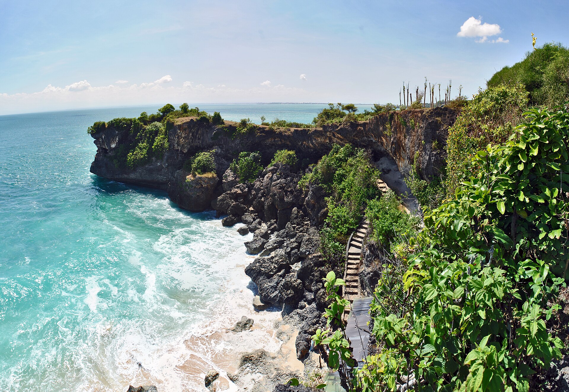 Uluwatu
Photo: Pantai Balangan (26334448230) · BxHxTxCx (using album) · CC BY-SA 2.0 · Wikimedia Commons
Roster and ocean statistics read from Supabase on 5 Nov 2026 · scores read from production’s ranked view, generated 20 Aug 2026 · Generated using E.U. Copernicus Marine Service Information · Places near the breaks © OpenStreetMap contributors, 5 Nov 2026.
Conditions in November
At a glance · November
Swell
0.9 – 1.8 m
Primary swell, p10 to p90 offshore · 7,920 readings.
Glassy or no wind sea
95%
Of Nov readings at the cell, 33 years.
Water
27 – 29°C
Boardshorts. Nobody wears rubber here. The middle 80% of Nov days, 1993–2025.
Season
—
The season isn’t measured here yet.
On land in November · days 28 – 29°C, nights around 27°C · neither among the wettest nor the driest months here.
Swell: climatology · 1993 – May 2026 · Copernicus Marine + ERA5 · regional ocean cell, not a forecast. Water: NOAA OISST v2.1, NOAA National Centers for Environmental Information, 1993–2025, at the ocean cell. On land: NASA POWER, a ~50 km reanalysis of 1993–2025 — the coast’s broad climate, not a weather station.
The wave
4 breaks on the roster, reading 2 ocean cells.
Breaks on the roster
4
Breaks we know of at this hub
Curated
0 of 4
Hold a wave profile from a guide
Scored
0 of 4
Hold a Surf Score
Ocean cell
14 km offshore, read by 2 of the 4 breaks here · the rest read 1 other cell
Nearest airport
DPS · Kuta, Badung, 11 km
Scheduled flights · straight line from the hub, not a drive
Roster and ocean statistics read from Supabase on 5 Nov 2026 · scores read from production’s ranked view, generated 20 Aug 2026 · Generated using E.U. Copernicus Marine Service Information
When to go
Thirty-three years of mornings
Every month at the ocean cell offshore: the middle 80% of 33 years of primary-swell readings, and the median — size at sea, not how good the mornings were.
Median primary swell 1.3 m, at about 10 s; the wind sea was glassy or absent on 95% of 7,920 readings across 33 Novs.
The band holds the middle 80% of primary-swell readings at the ocean cell 14 km offshore (p10 to p90), the line the median. It is size at sea, not quality at the break — wind, tide and each break’s own shape are not in it. Read by 2 of the 4 breaks at Uluwatu.
Typical for these datesFrom 33 yrs· 31 May 20261993 – May 2026 · Copernicus Marine GLOBAL_MULTIYEAR_WAV_001_032 · monthly summaries per ocean cell · Generated using E.U. Copernicus Marine Service Information
A score needs three things for each break: the size of swell that works there, the directions it can come from, and its period — and it can’t run without the size. Of the 4 breaks here, we know the size for 0, the direction for 4 and the period for 0. Each break below shows what we know.
The ocean cell in November
7,920 readings · 2 breaks read it
0.9 – 1.8 m
Primary swell height · p10 to p90 offshore
1.3 – 2.9 m
Median to the biggest reading
9.7 s
Median period · p90 12.0 s
95%
Of readings with wind sea glassy or absent
Swell arrives from 201° to 216° (median 208°), spread 6°. Completeness 100%, 110,880 of 110,880 values, confidence high. Satellite-assimilated years only: 70% altimeter, 12% + Sentinel-1 SAR, 18% + CFOSAT.
From 33 yrs · 31 May 2026This is the ocean off Uluwatu in November. It is not yet any one break in November — that needs the break’s own profile. Measured 5 Nov 2026 · Copernicus Marine WAVERYS, 1993 – May 2026.
Breaks
4 breaks, and which are yours
Tell us your level and each break says whether it is yours.
From surfers who surf here
Local knowledge
No local tips yet
Surf Uluwatu? Tell a visitor one thing.
Tips here are written by surfers who live here — named, dated, never generated. Until someone sends one, this stays empty rather than filled with a guess.
I surf here — send a tip2Step 2 · Where to stay
Choose your stay
No stays with a price to show for Nov 18 – 25
Live prices could not be fetched just now. Each provider still opens with your dates and shows its price there.
Beyond the lineup
Afternoons and evenings
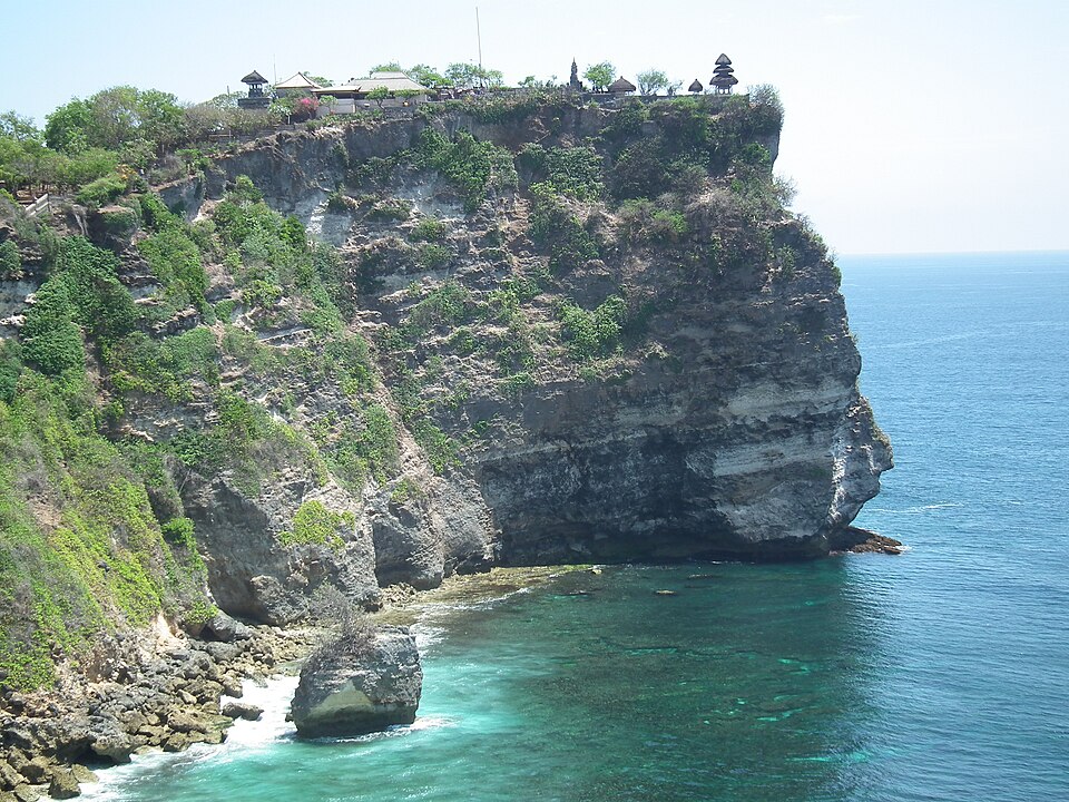 Photo GeoffClarke· CC BY-SA 3.0Uluwatu TempleTemple · 5.9 km from Pantai BalanganUluwatu Temple is a Balinese Hindu temple located on the south-western tip of the Bukit Peninsula in Pecatu Village (South Kuta), Badung Regency, Bali, Indonesia.Locally: Pura Luhur UluwatuHours as mapped: Daily 09:00–18:00Wikipedia Map
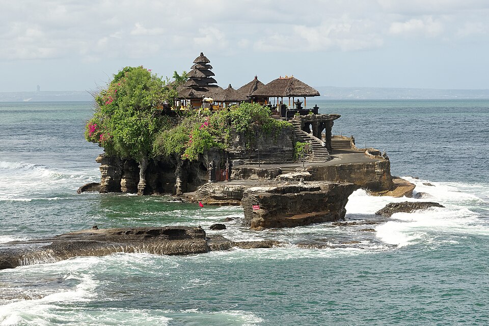 Photo Jakub Hałun· CC BY-SA 4.0Tanah Lot TempleTemple · 6.1 km from Unnamed spot (8.658° S, 115.128° E)Tanah Lot is a rock formation off the Indonesian island of Bali. It is home to the ancient Hindu pilgrimage temple Pura Tanah Lot (literally "Tanah Lot temple"), a popular tourist and cultural icon for photography.Locally: Tanah LotHours as mapped: Daily 07:00–19:00Wikipedia Website Map
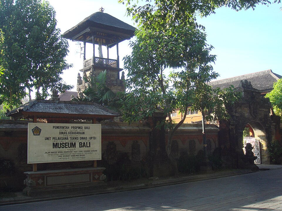 Photo PHGCOM· CC BY-SA 3.0Bali MuseumMuseum · 7.9 km from Legian BeachThe Bali Museum is an art and history museum in Denpasar, Bali, Indonesia. Established in 1931, it houses collections relating to Balinese art, culture and history. The museum stands on the eastern side of Taman Puputan, the central square of Denpasar.Locally: Museum BaliHours as mapped: Mon–Thu 08:00–16:30 · Fri 08:00–13:30Wikipedia Website Map
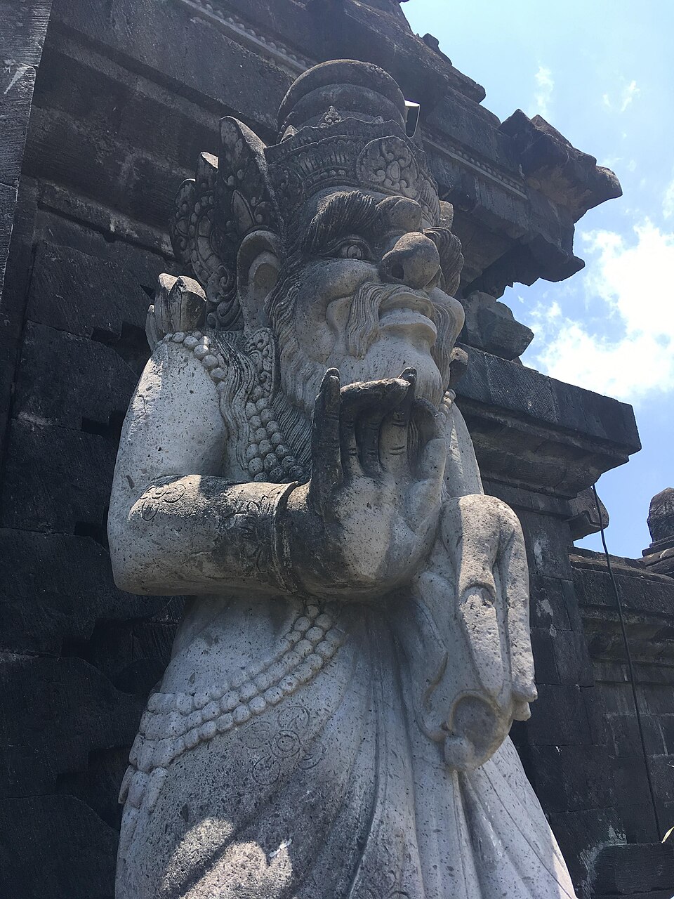 Photo Christophe95· CC BY-SA 4.0Bajra Sandhi MonumentMonument · 8.4 km from Legian BeachBajra Sandhi Monument is a monument to the struggles of the Balinese people throughout history. The monument is located in front of the Bali Governor's Office in Denpasar, Indonesia, on the island of Bali.Locally: Monumen Bajra SandhiWikipedia Map
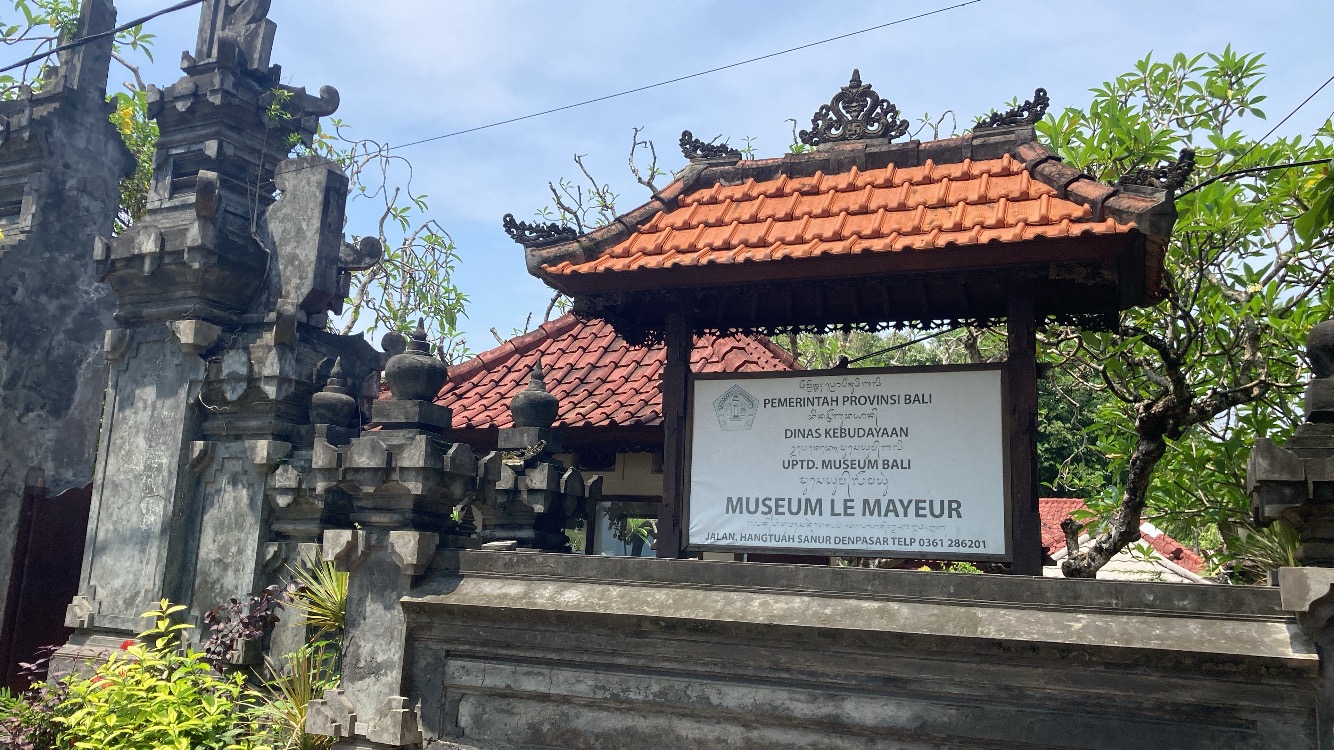 Photo Frypie· CC BY-SA 4.0Le Mayeur MuseumMuseum · 11.4 km from Legian BeachThe Le Mayeur Museum is a museum containing Adrien-Jean Le Mayeur's work as well as his collection of traditional Balinese art and local artifacts. It is located on the seafront at Sanur, Bali, Indonesia.Locally: musuem le mayeurHours as mapped: Sun–Thu 08:00–15:00 · Fri 08:00–13:00Wikipedia Website Map
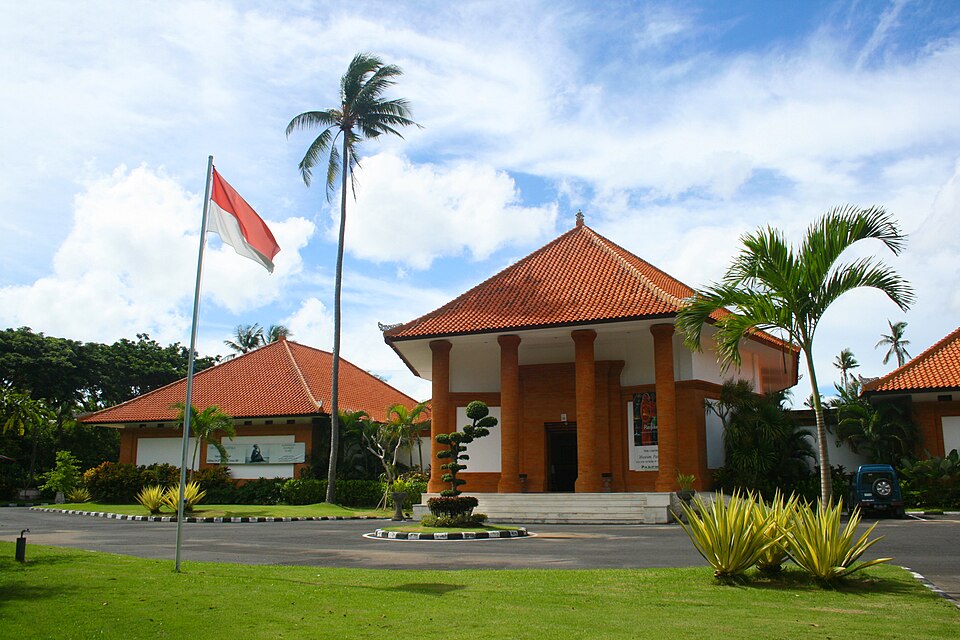 Photo Museum Pasifika· CC BY-SA 4.0Museum PasifikaMuseum · 11.8 km from Pantai BalanganMuseum Pasifika is an art museum in Nusa Dua, Bali, Indonesia. Its collection focuses on art and cultural material from the Asia-Pacific region. The museum was founded in 2006 by Moetaryanto P. and Philippe Augier. Its building was designed by Popo Danes.Hours as mapped: Daily 10:00–18:00Wikipedia Website Map
Sights within reach are places OpenStreetMap maps as a temple, fort, museum, park and the like, each matched to its English Wikipedia article by name and position; the words are the article’s opening lines, shortened (CC BY-SA 4.0), read 4 Nov 2026. Surf shops, viewpoints and places to eat near the breaks are as mapped on OpenStreetMap (5 Nov 2026). © OpenStreetMap contributors. Photos are credited on each card and on the licences page. Not reviewed, rated or ranked by us; nearest first, distances are straight lines. Find tours opens a search for tours at that sight on our tours partner’s site, in a new tab — we do not hold their tours or prices.
We may earn a commission when you book through these links — it never changes your price.
Want this break when it’s right?
We’ll call when Uluwatu lines up with the conditions you want — your window, not everyone’s.
One call per swell · quiet hours respected
Nearby
Other hubs worth a look
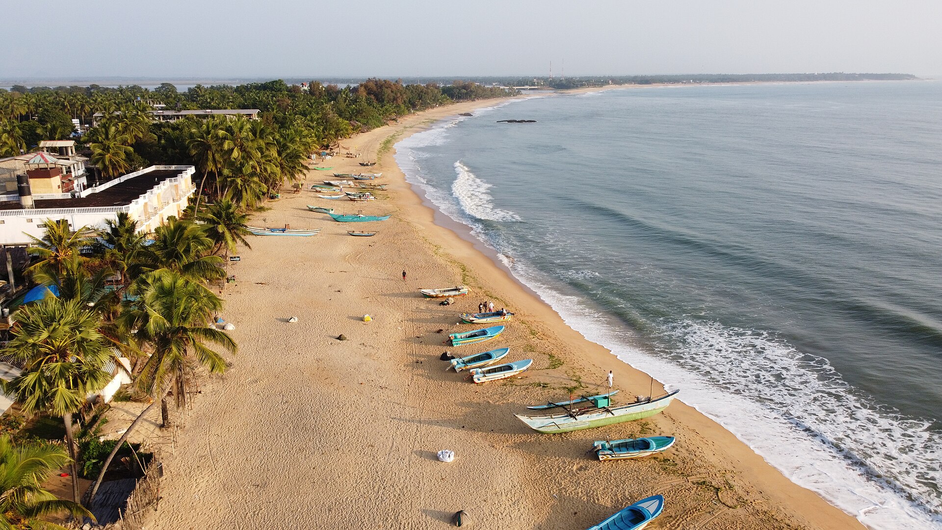
Sri Lanka · 4080 km away, straight line
Biggest in Jul. Water 27 – 31°C, boardshorts.
Best months not held yet · 12 stays mapped on OpenStreetMap
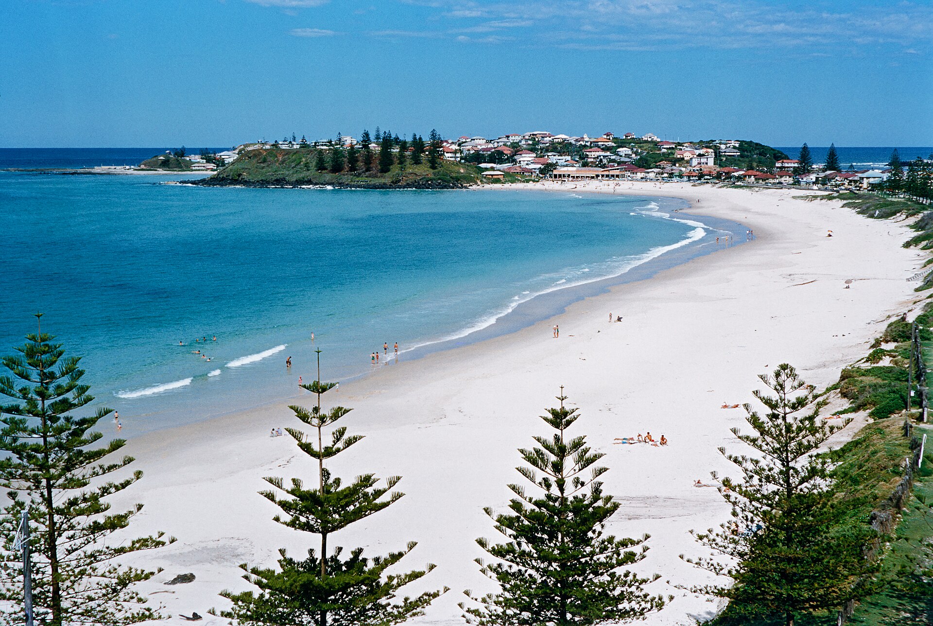
Australia · 4560 km away, straight line
Marginal fit · 2.6Most reliable Jan to May, from the 33-year archive. How it suits your level isn’t known yet — its breaks are still being described.
Best Jan – May · 12 stays mapped on OpenStreetMap
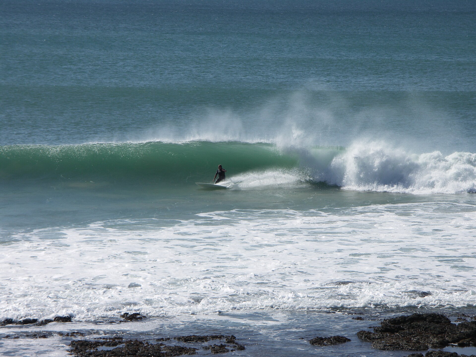
South Africa · 9480 km away, straight line
Excellent fit · 8.7Most reliable Feb to Dec, from the 33-year archive. How it suits your level isn’t known yet — its breaks are still being described.
Best Feb – Dec · 12 stays mapped on OpenStreetMap
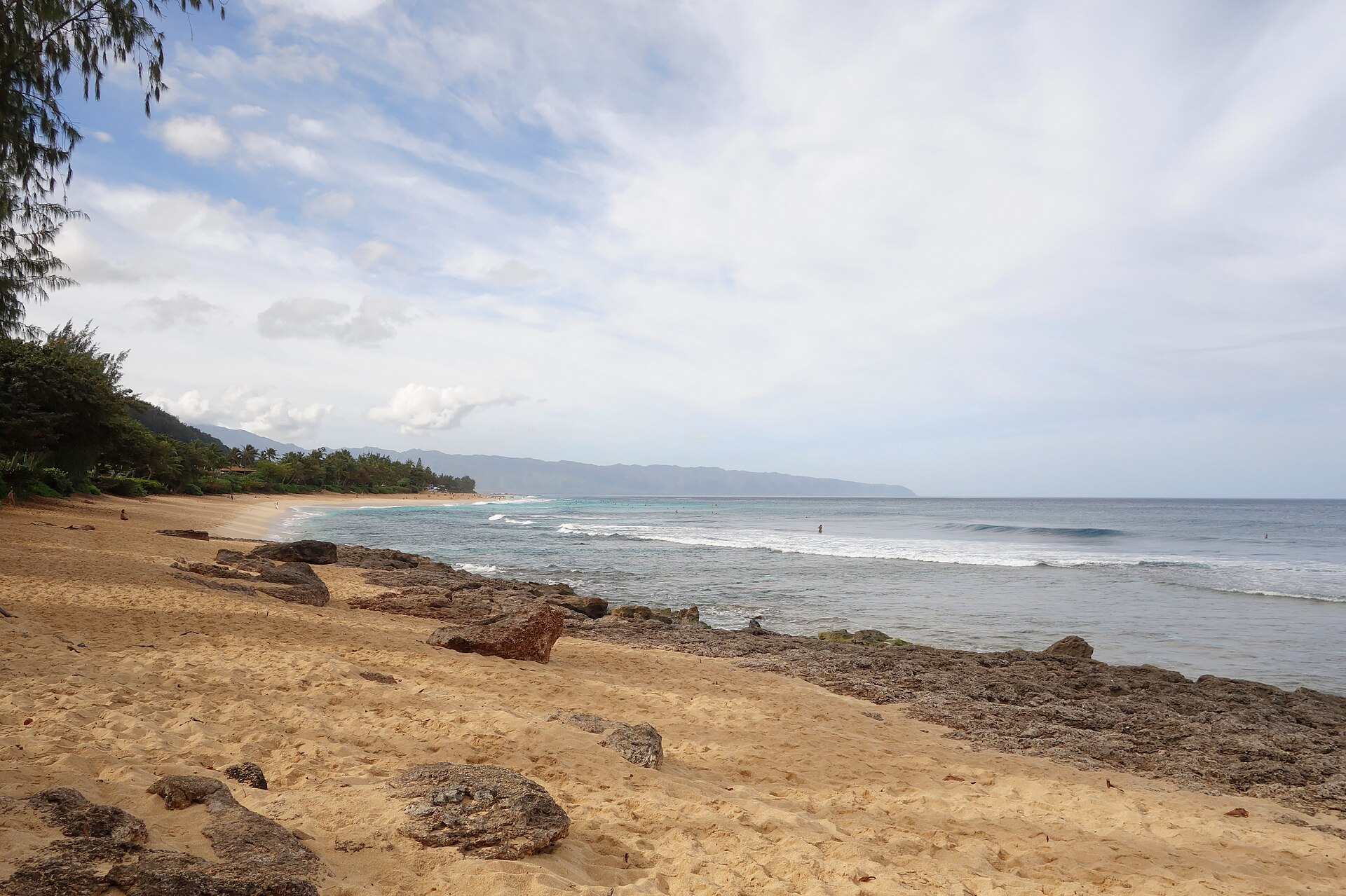
United States · 10050 km away, straight line
Strong fit · 8.2Most reliable Dec to Feb, from the 33-year archive. How it suits your level isn’t known yet — its breaks are still being described.
Best Dec – Feb · 2 stays mapped on OpenStreetMap